View on Map
Discover Details:
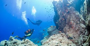
Cote Plongee
Definitely book your dive in advance, especially during peak season. I signed up last minute and had to wait longer than expected for a spot.
Bring your own snacks and drinks! The dive center's cafe can be pricey, and you'll need energy for all that diving.
Check the weather a day before your dive. I had to reschedule because of rough seas so staying updated really helps.
If you can, try to dive with a buddy who has some experience. It made my dives way more enjoyable and safer!
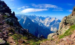
GR-20
If you're camping, you can save cash by bringing your own cooking gear. I thought the huts would have everything, but I ended up spending more on meals than expected.
Check the weather the day before – it can change fast! On my first day, I got caught in a storm and it was a bit messy. I recommend downloading a reliable weather app before you go.
Don't underestimate the difficulty of the trail! Bring plenty of water and snacks, I suggest packing extra energy bars – trust me, you'll need them. I ran out way too soon!
Try to start your hike by 7 AM; the sunrise is breathtaking and you’ll avoid the crowds. I didn't do this and regretted not getting those picture-perfect moments!
Mare a Mare Sud
I suggest bringing plenty of water and snacks, especially if you plan on hiking the longer trails. There weren't many places to refuel, and I regretted not stocking up before setting out
I recommend downloading offline maps before you go. My phone lost service on some parts of the trail, and having a physical map would have saved me time and kept me from wandering off track.


